The Amazon Rainforest is one of the largest ecosystems on Earth, spanning an area of about 2.7 million
square miles, of which 2.3 million is rainforest. Its boundaries encompass nine Latin American countries and approximately 3,000 indigenous territories. The majority of the land lies in Brazil, which accounts for 60% of the territory. However, despite the forest’s crucial role in mitigating global climate change, its area has suffered significant deforestation since the 1970s, risking irreversible environmental damage.
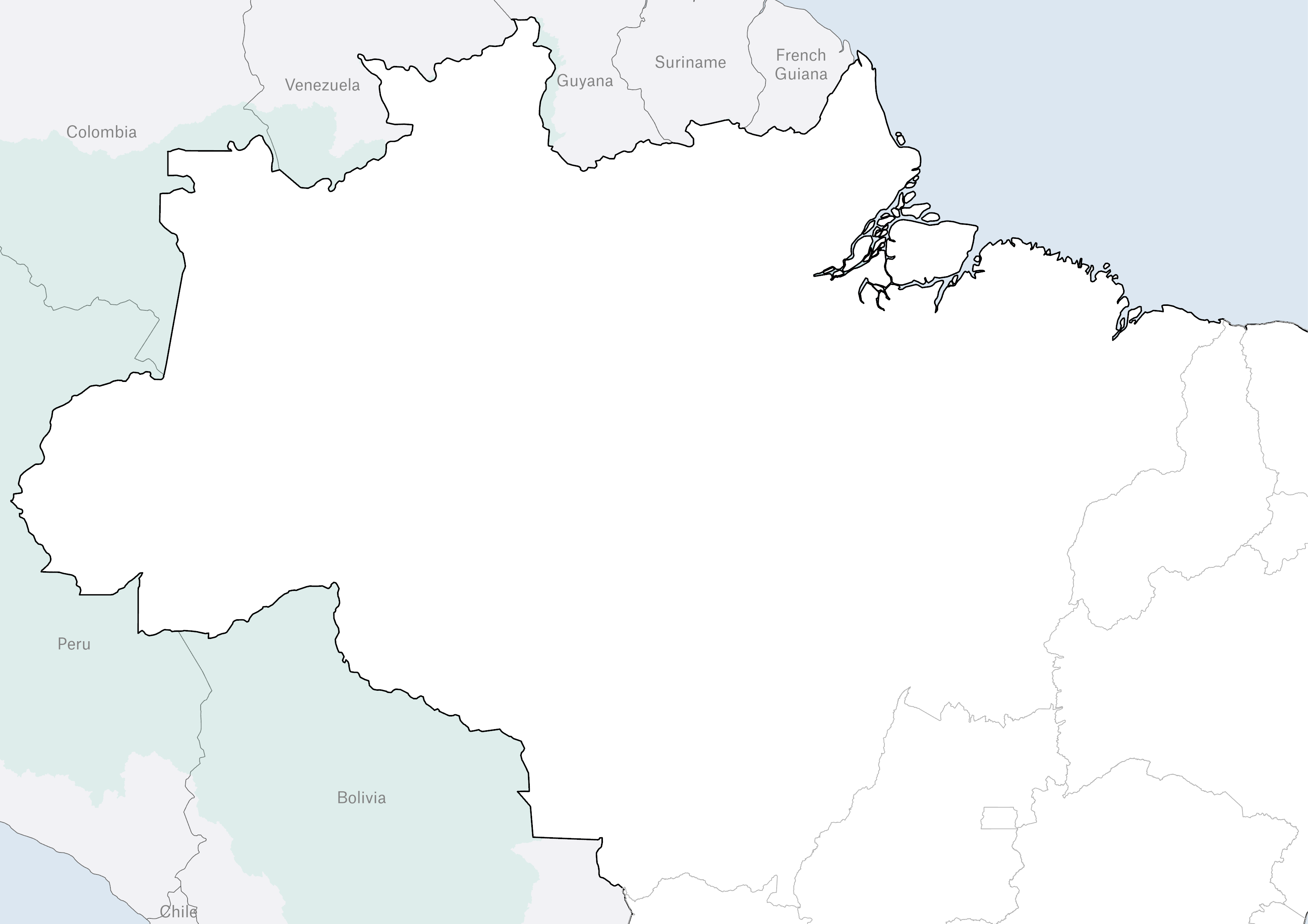
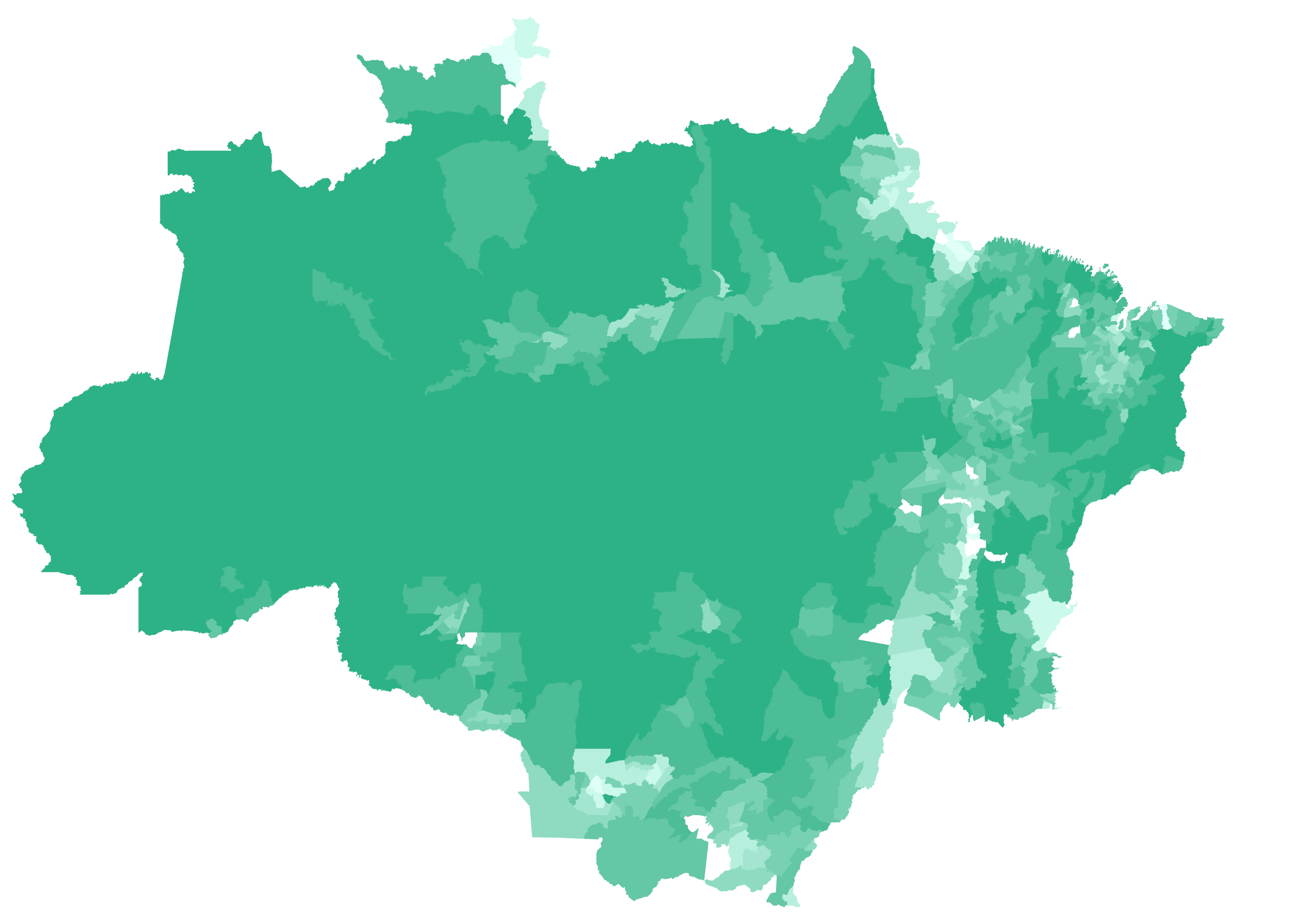
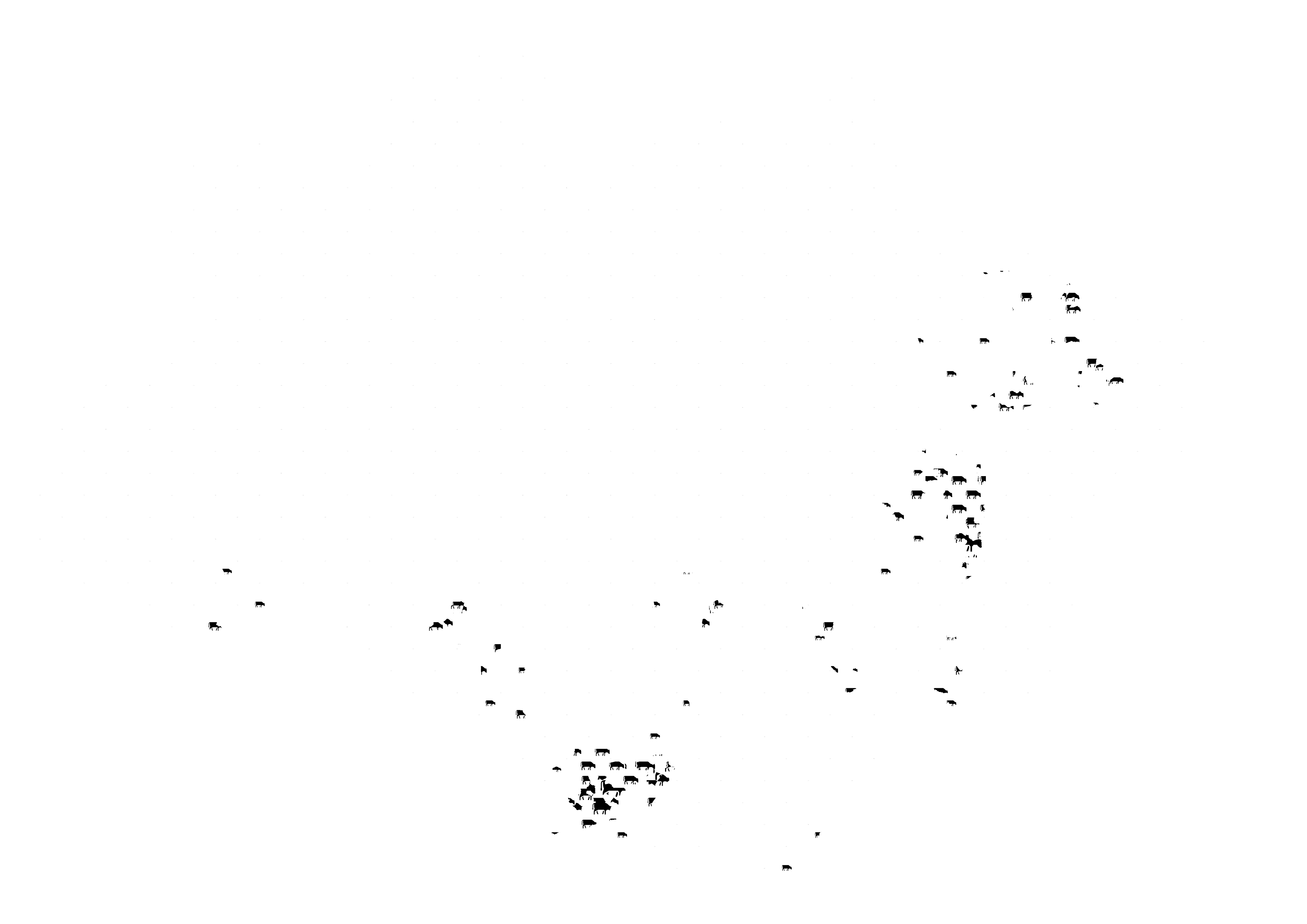
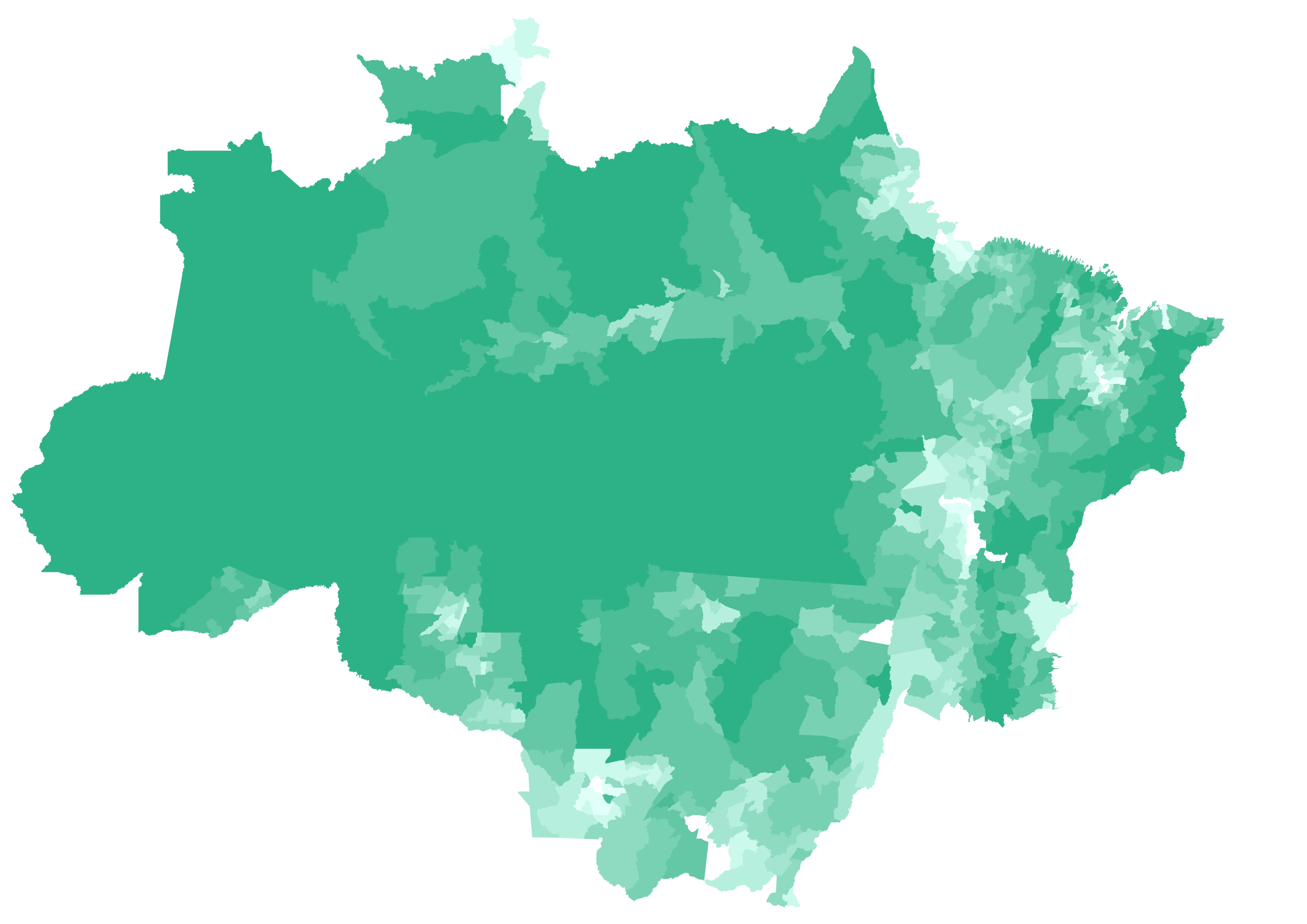
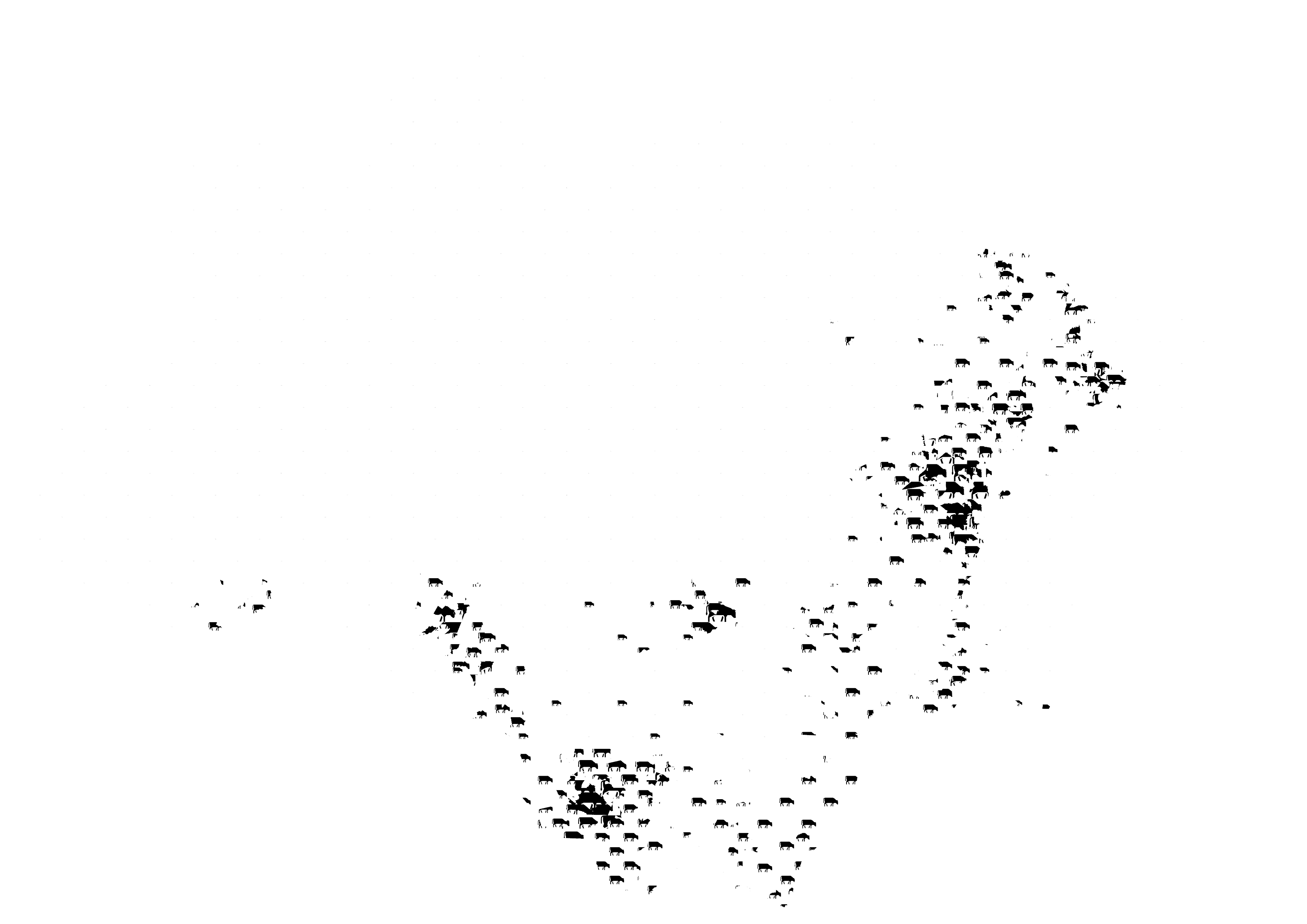
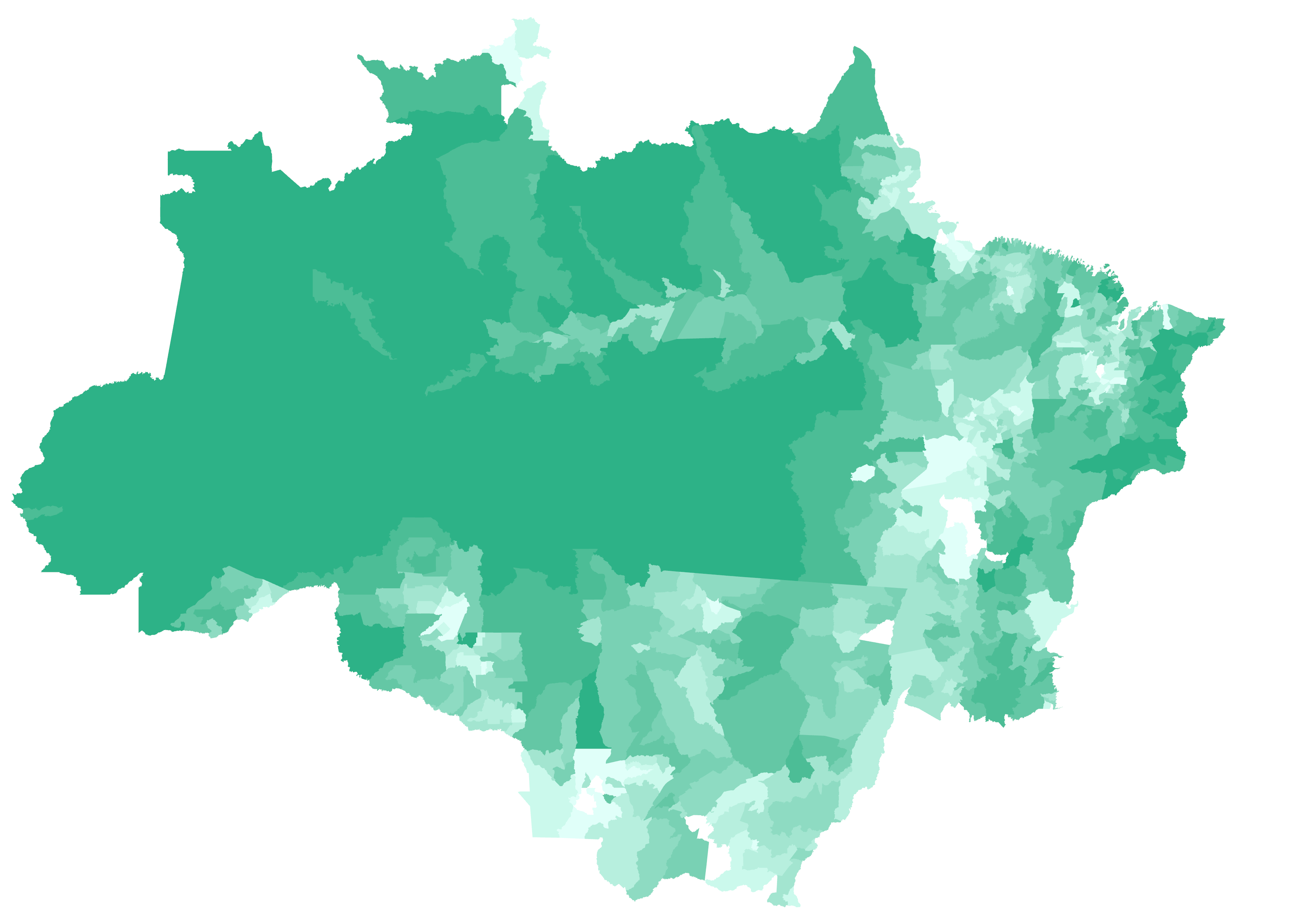
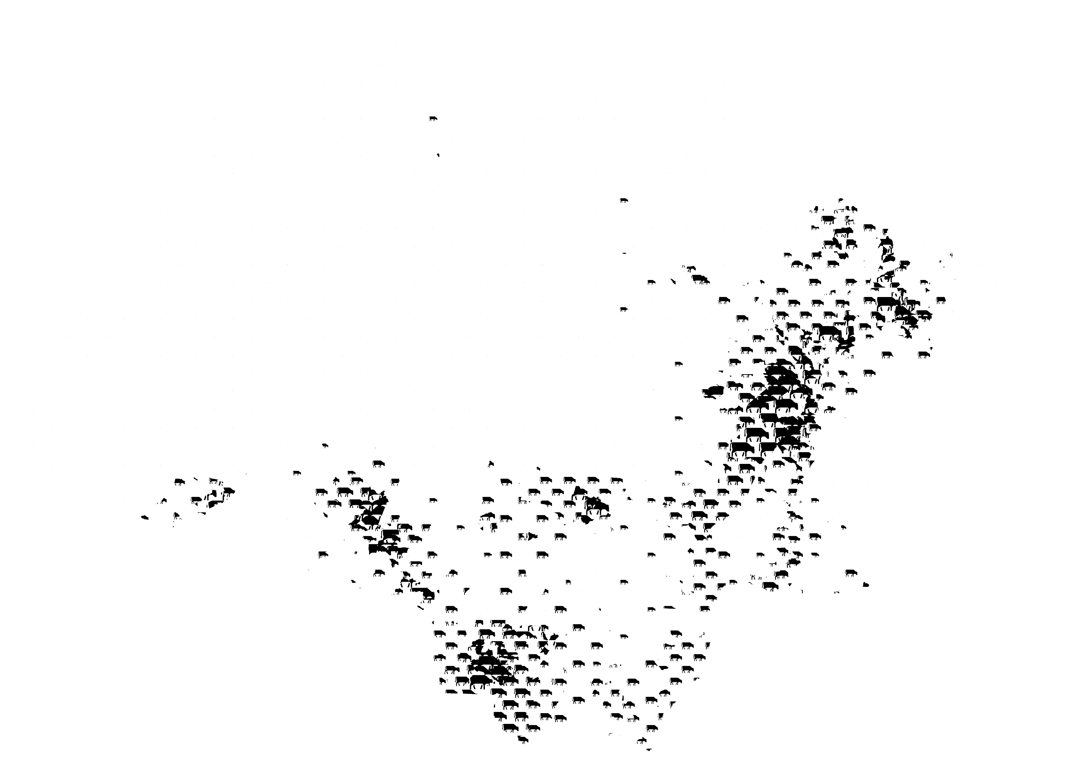
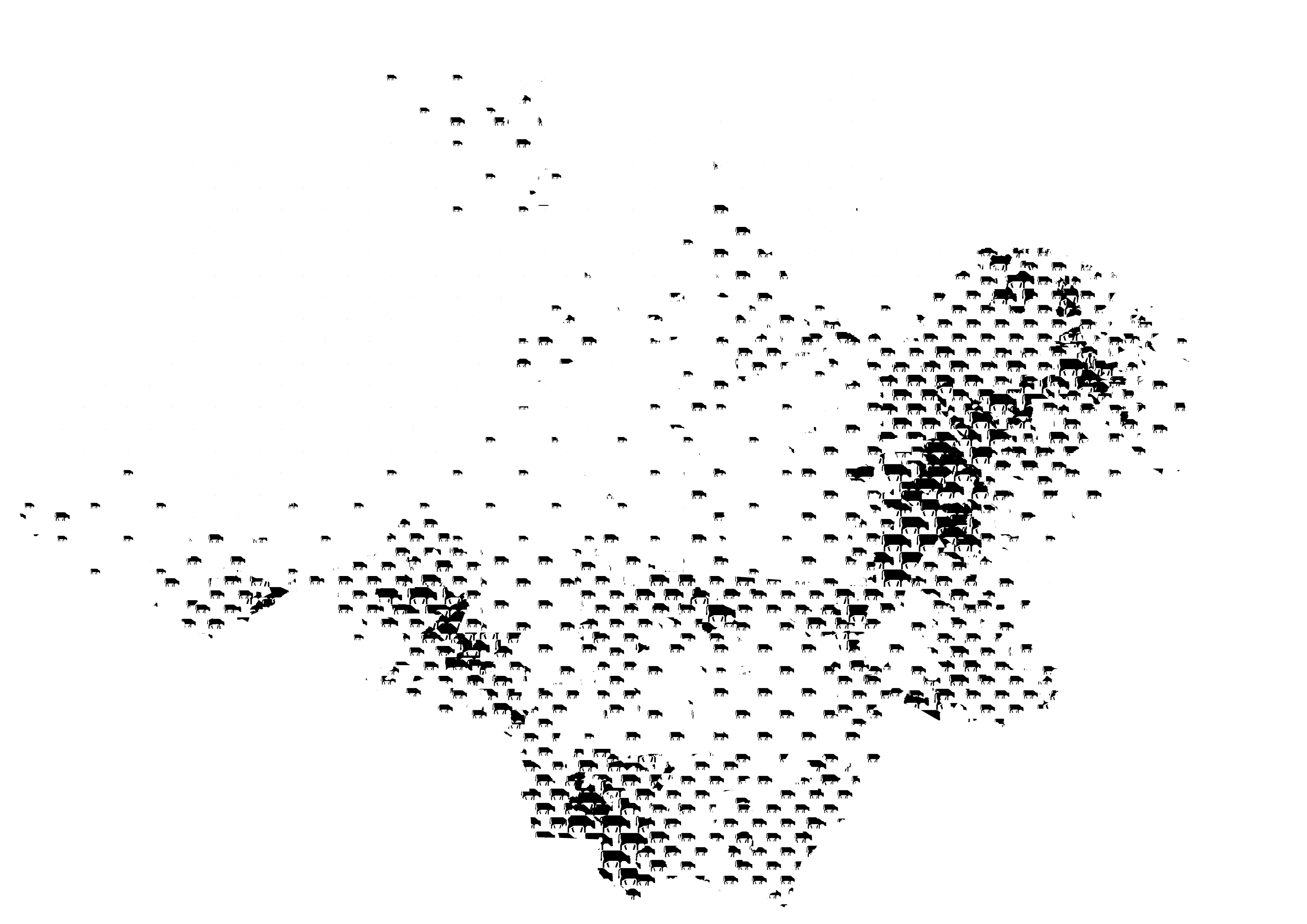
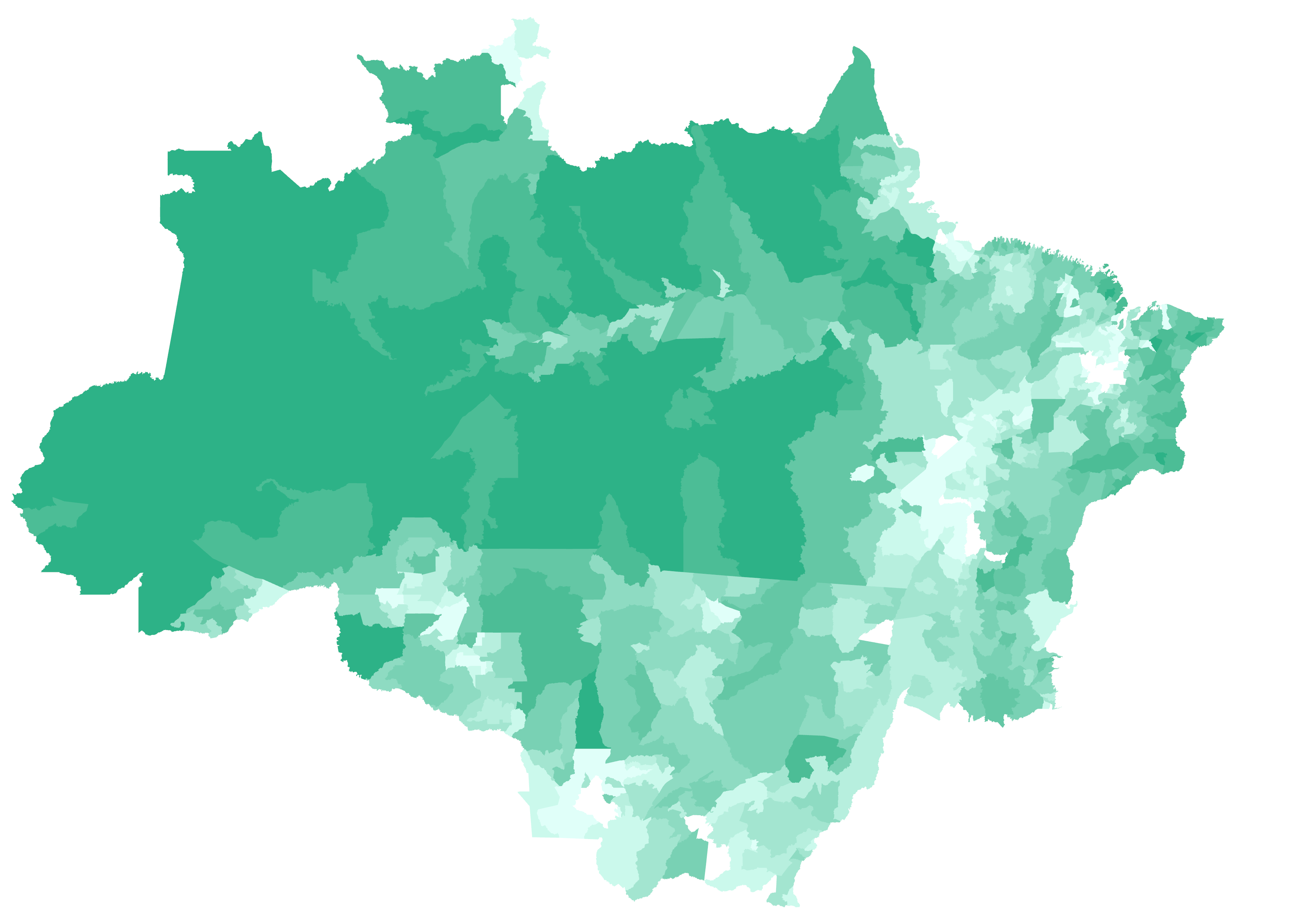
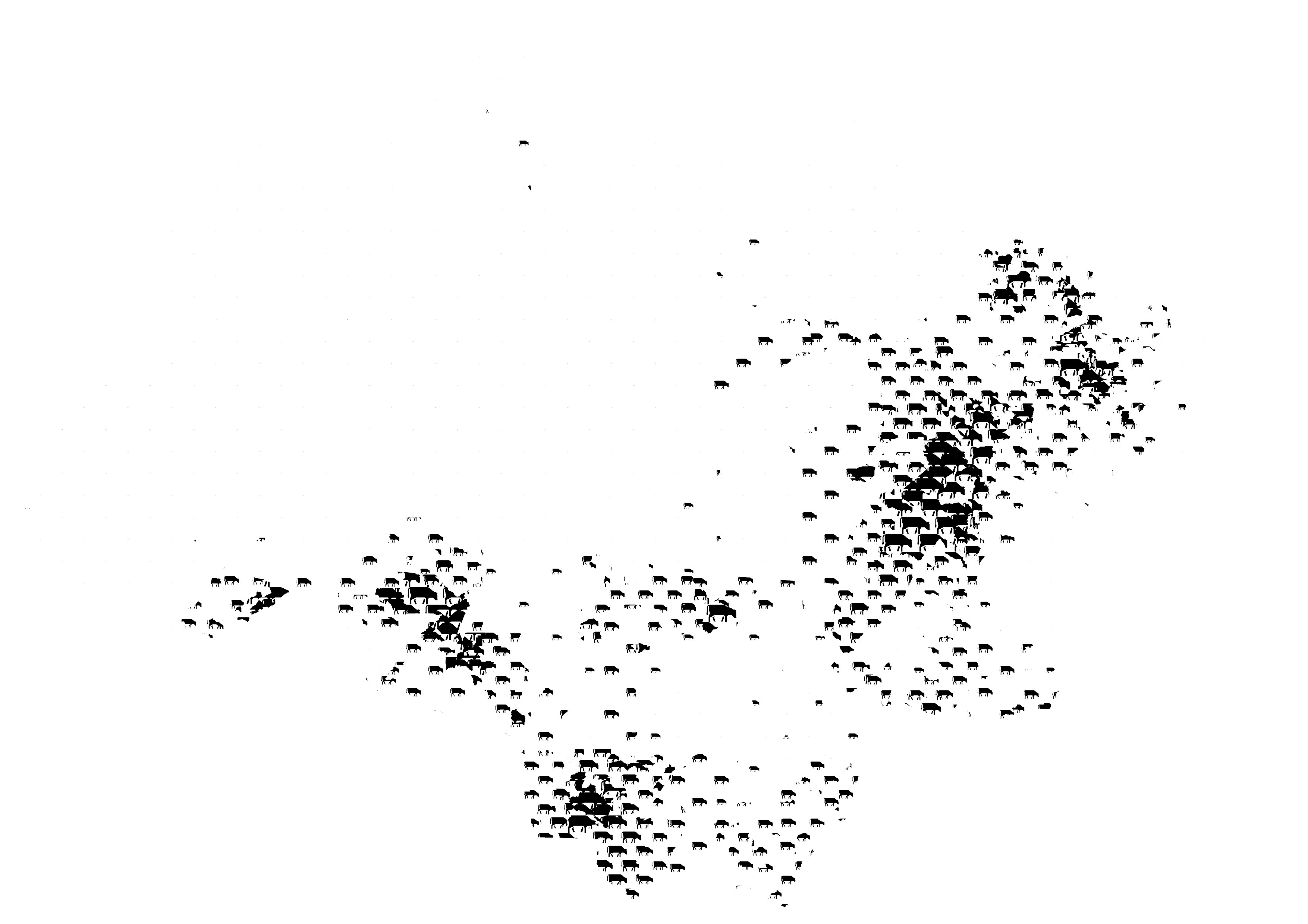
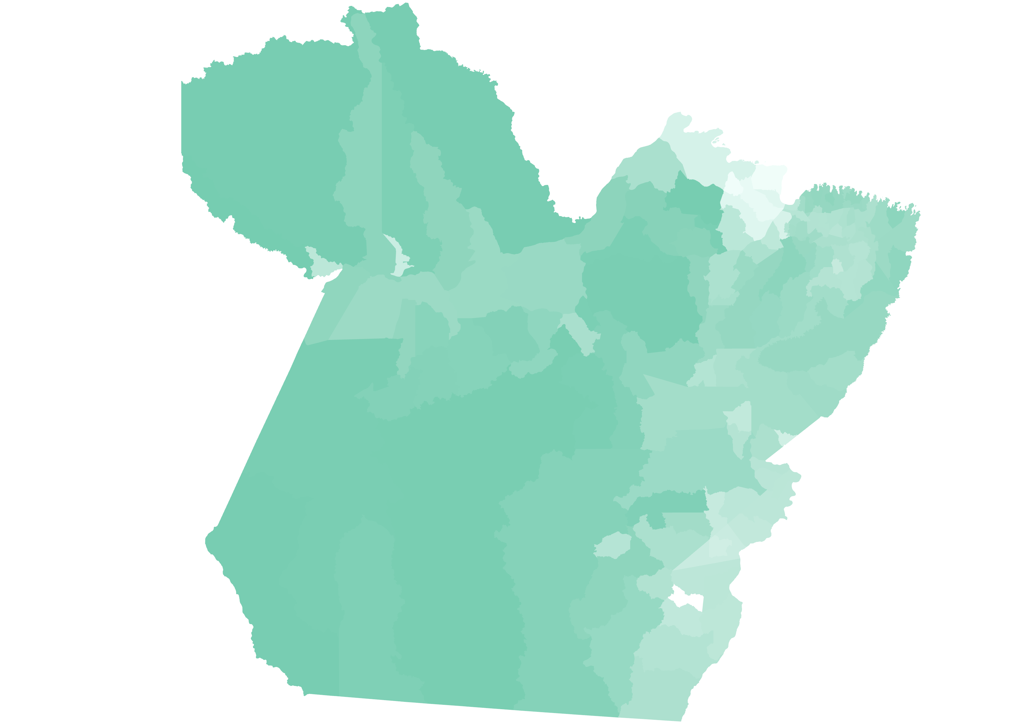
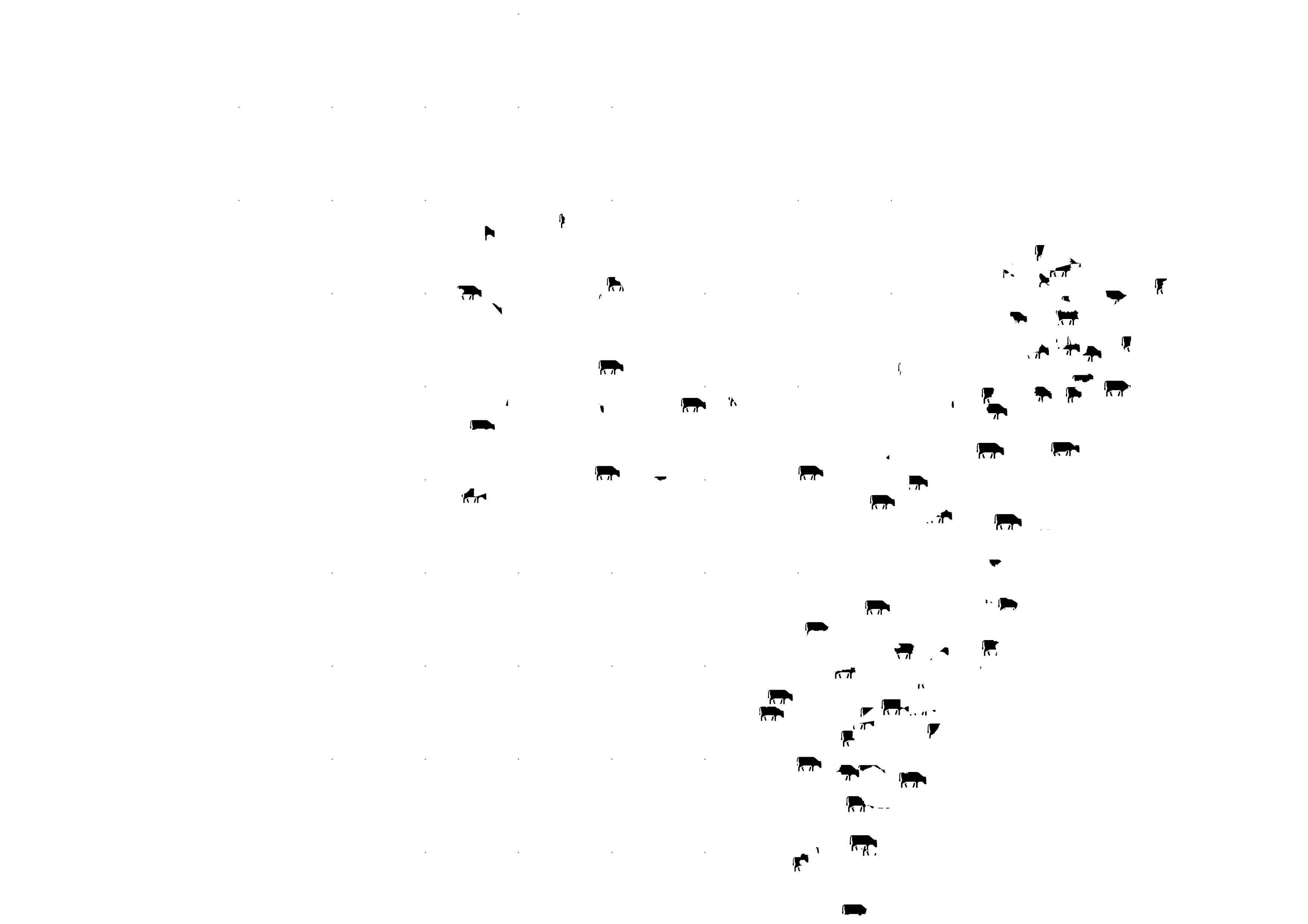
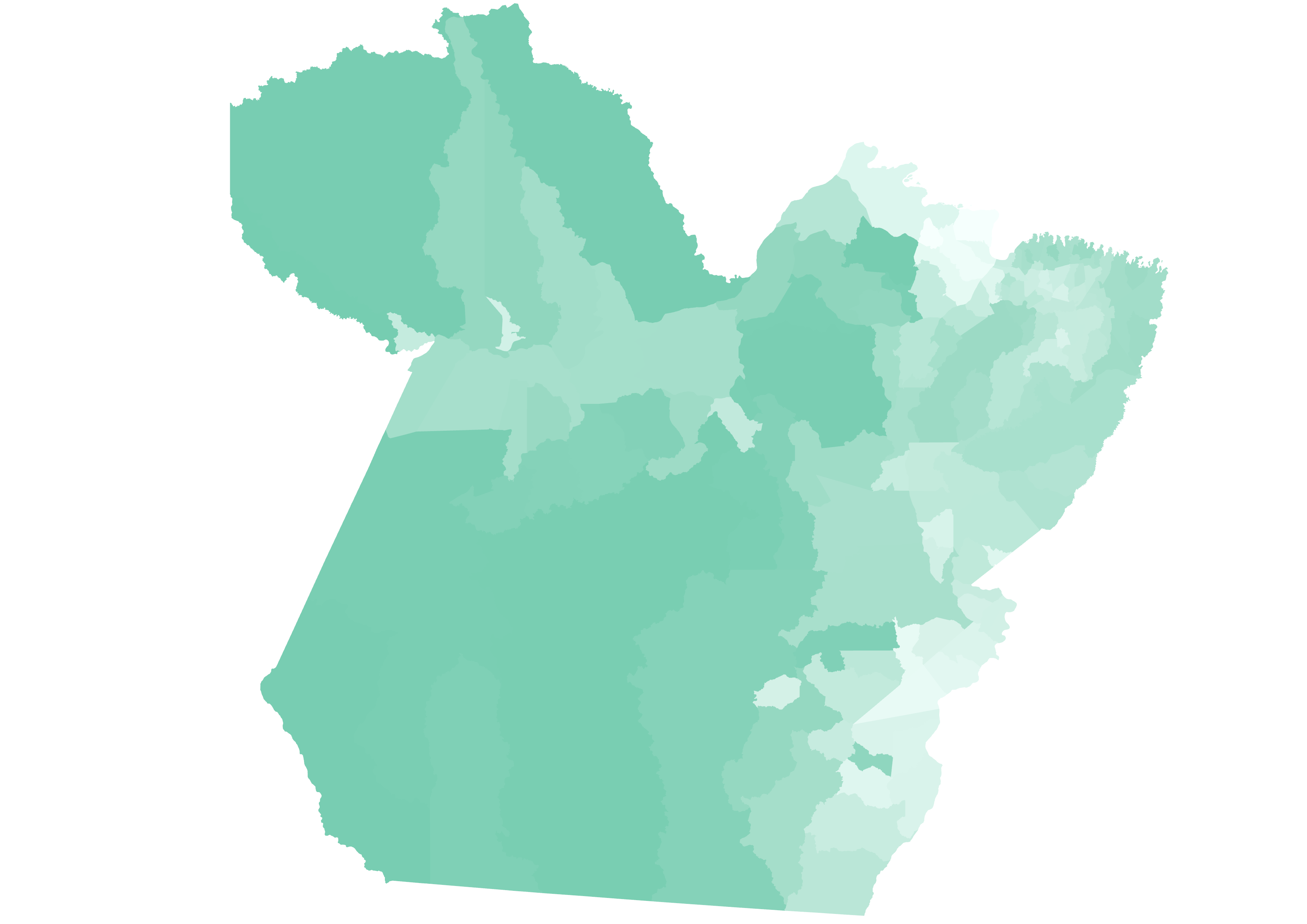
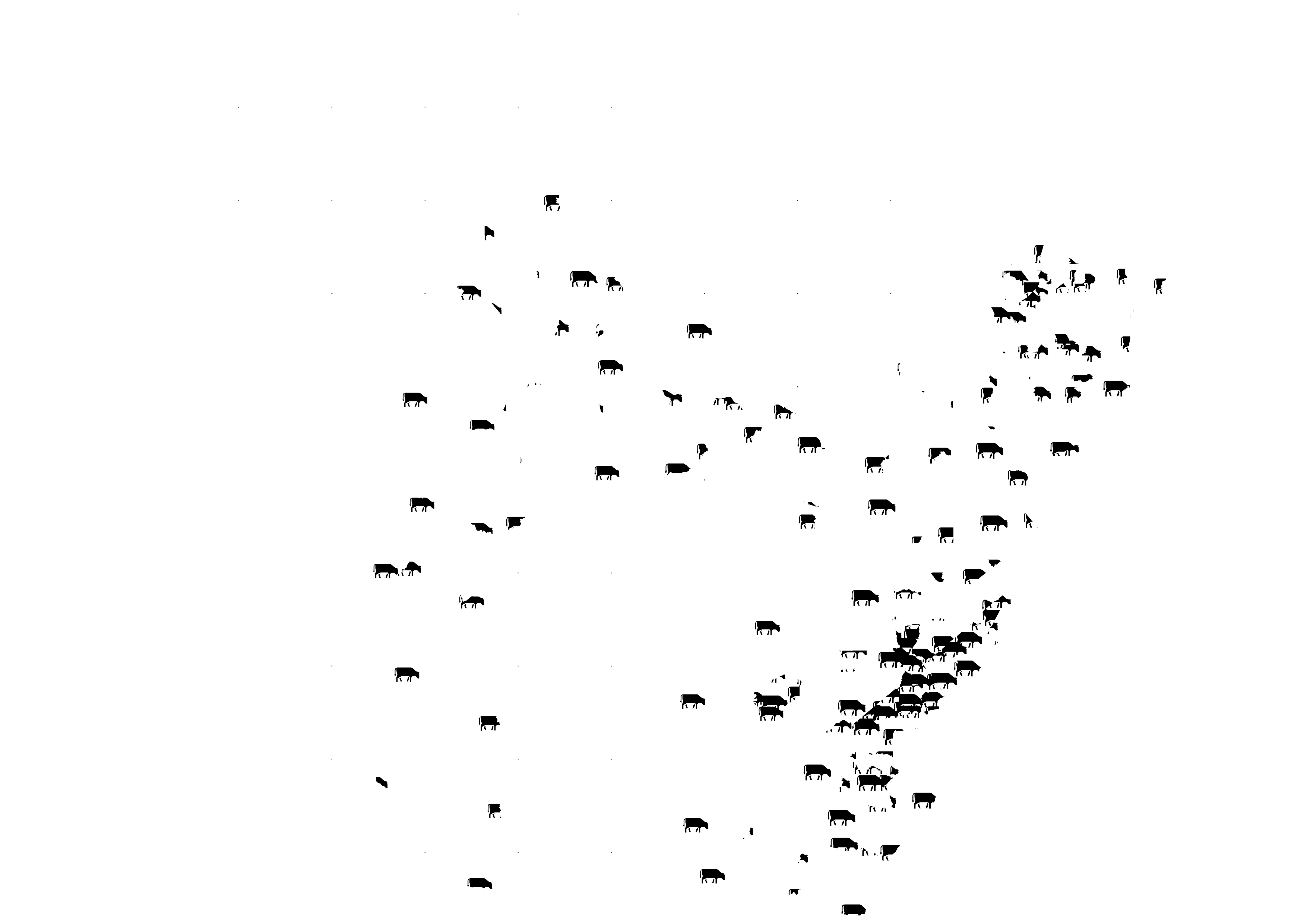
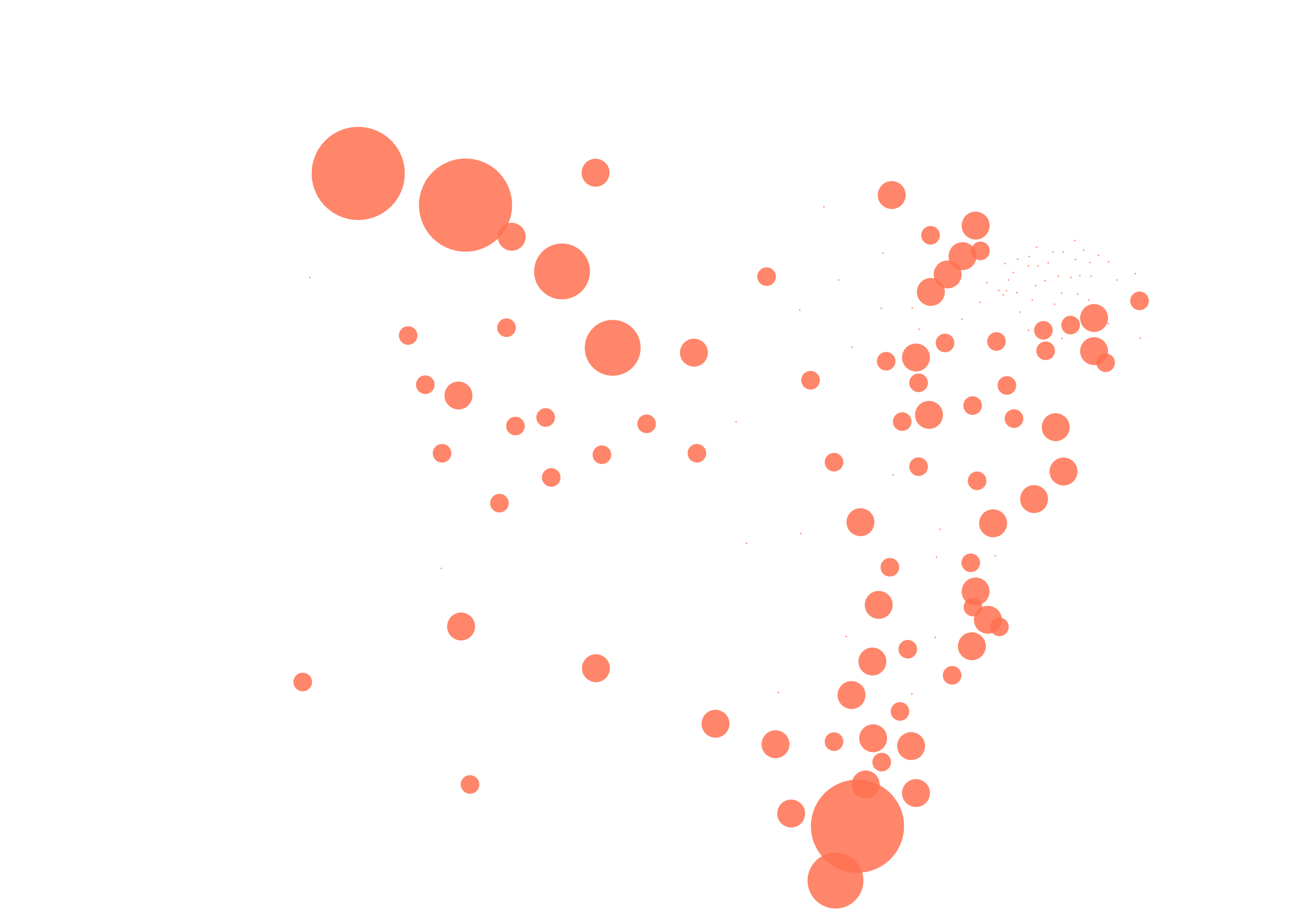
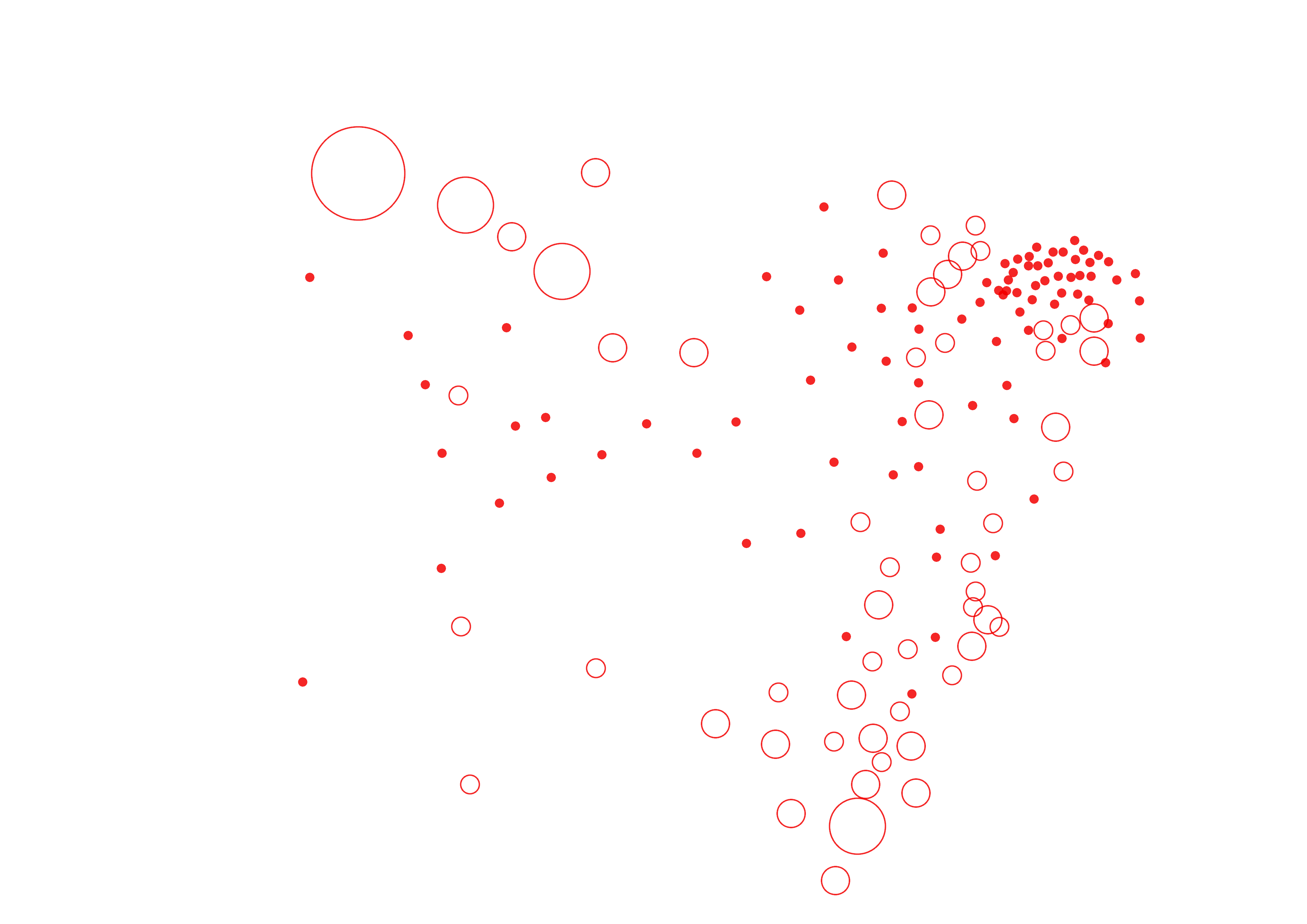
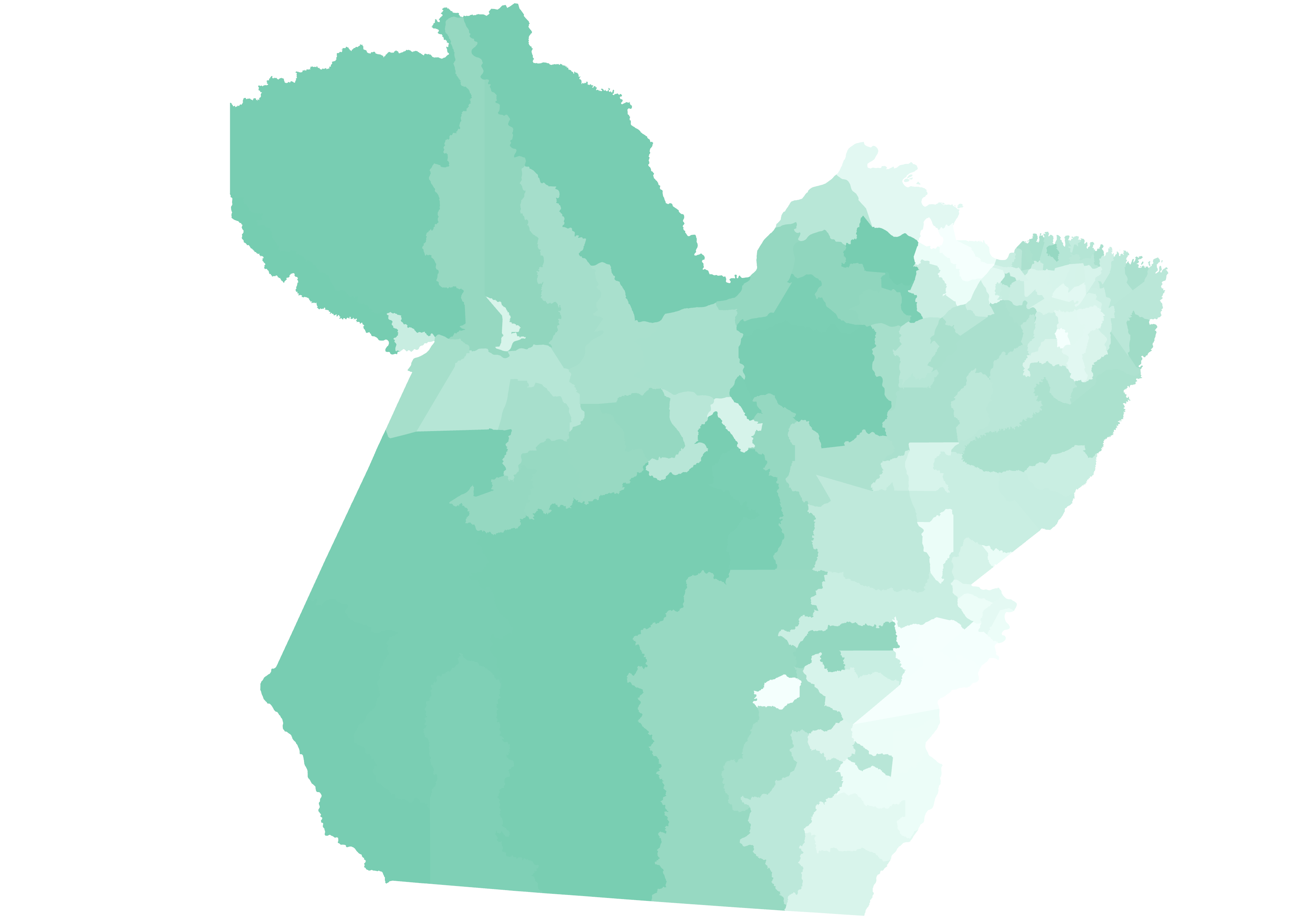
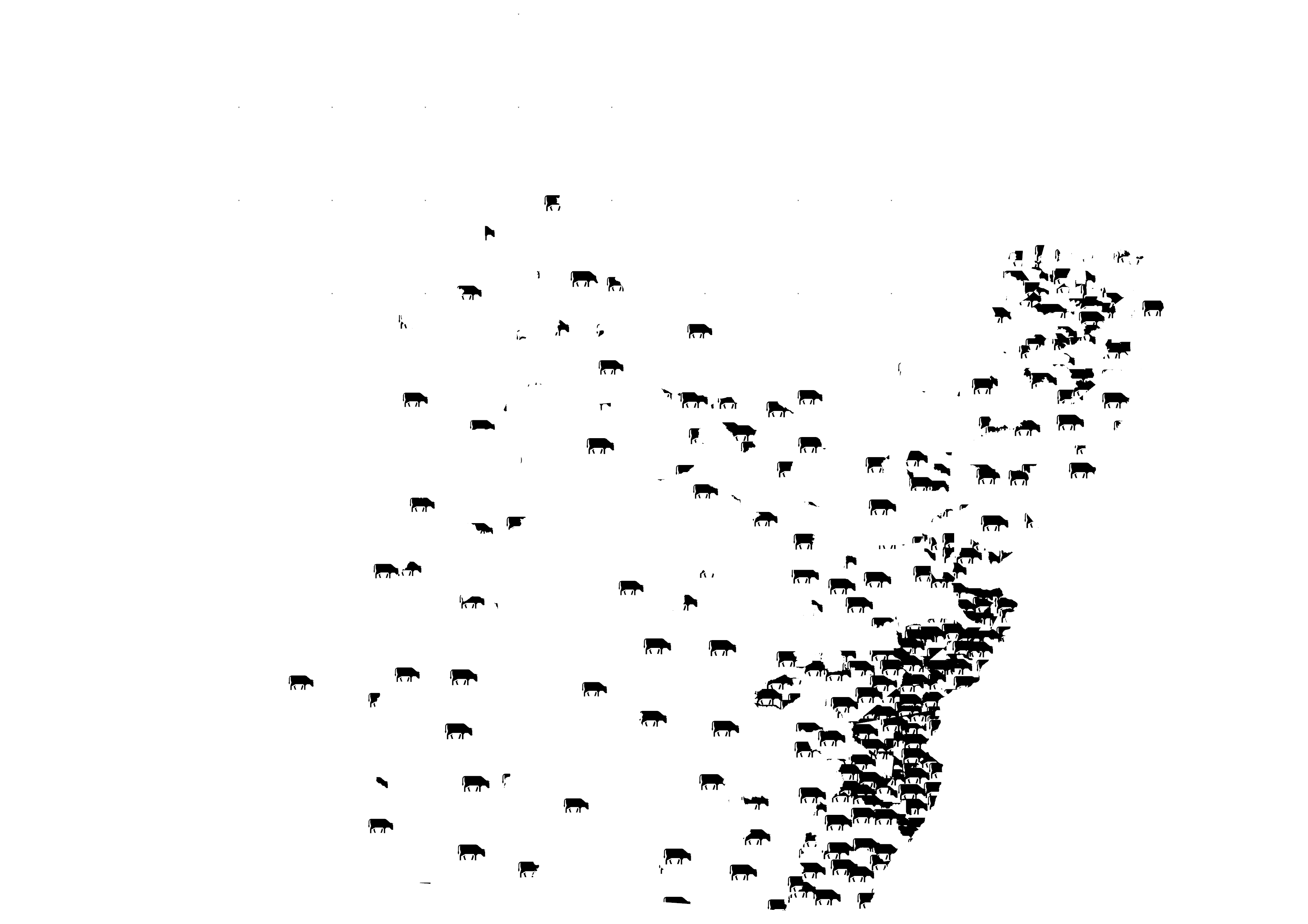
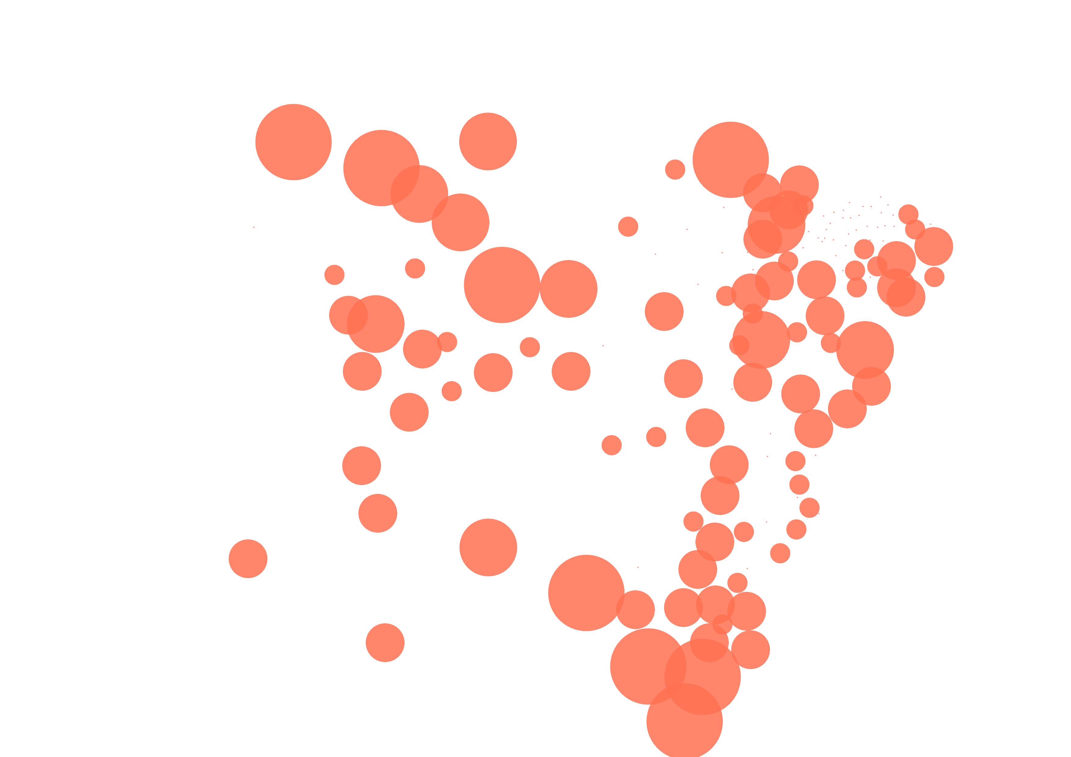
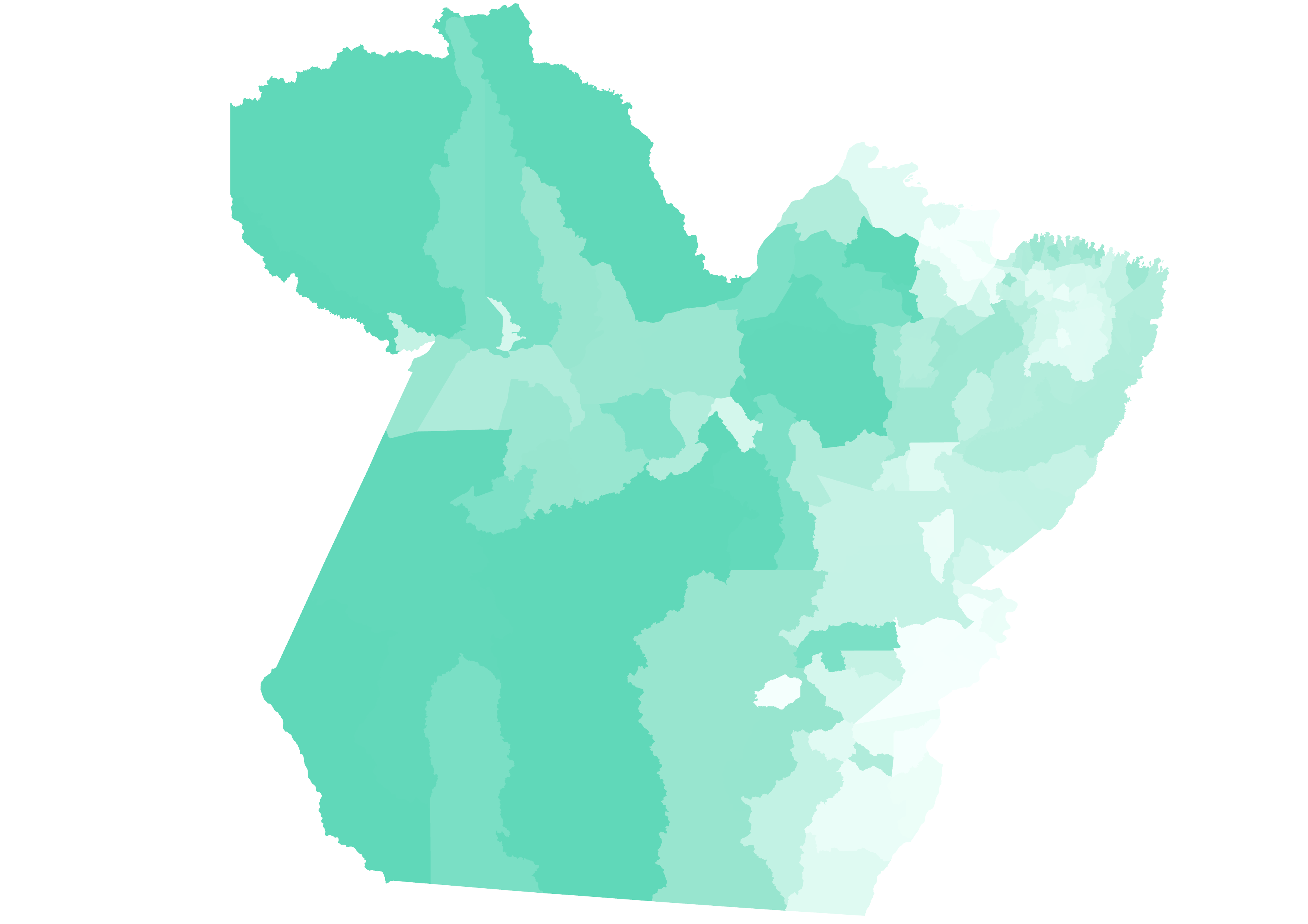
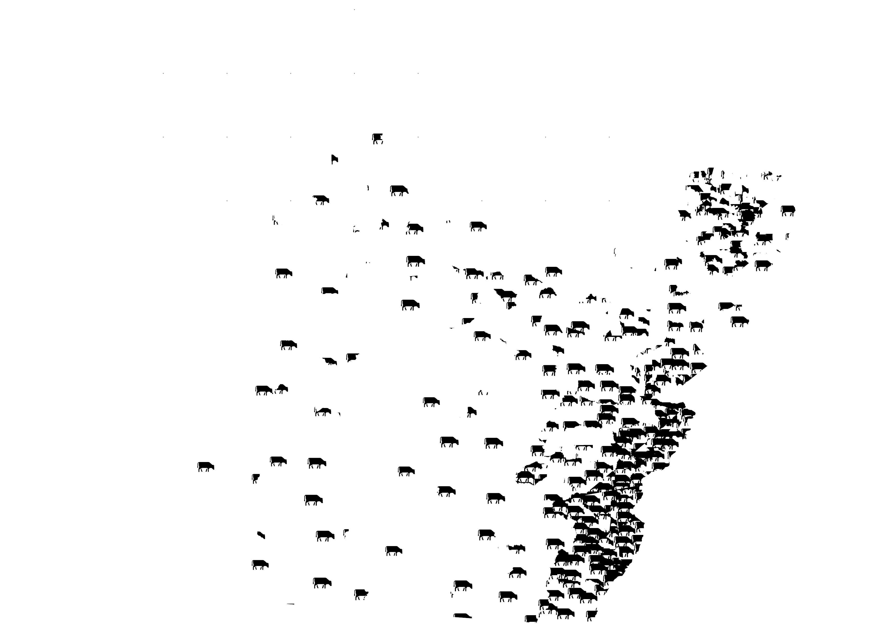
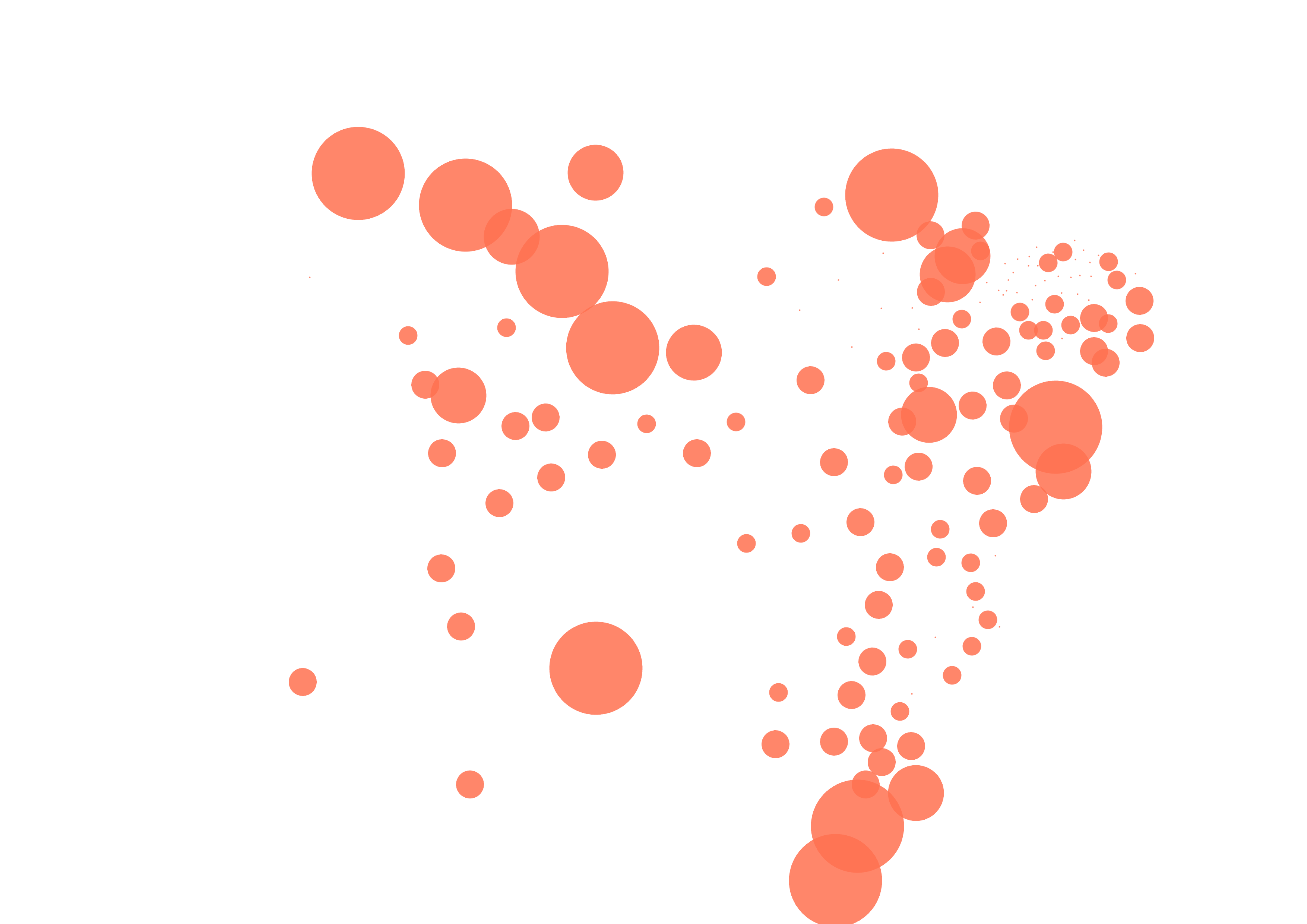
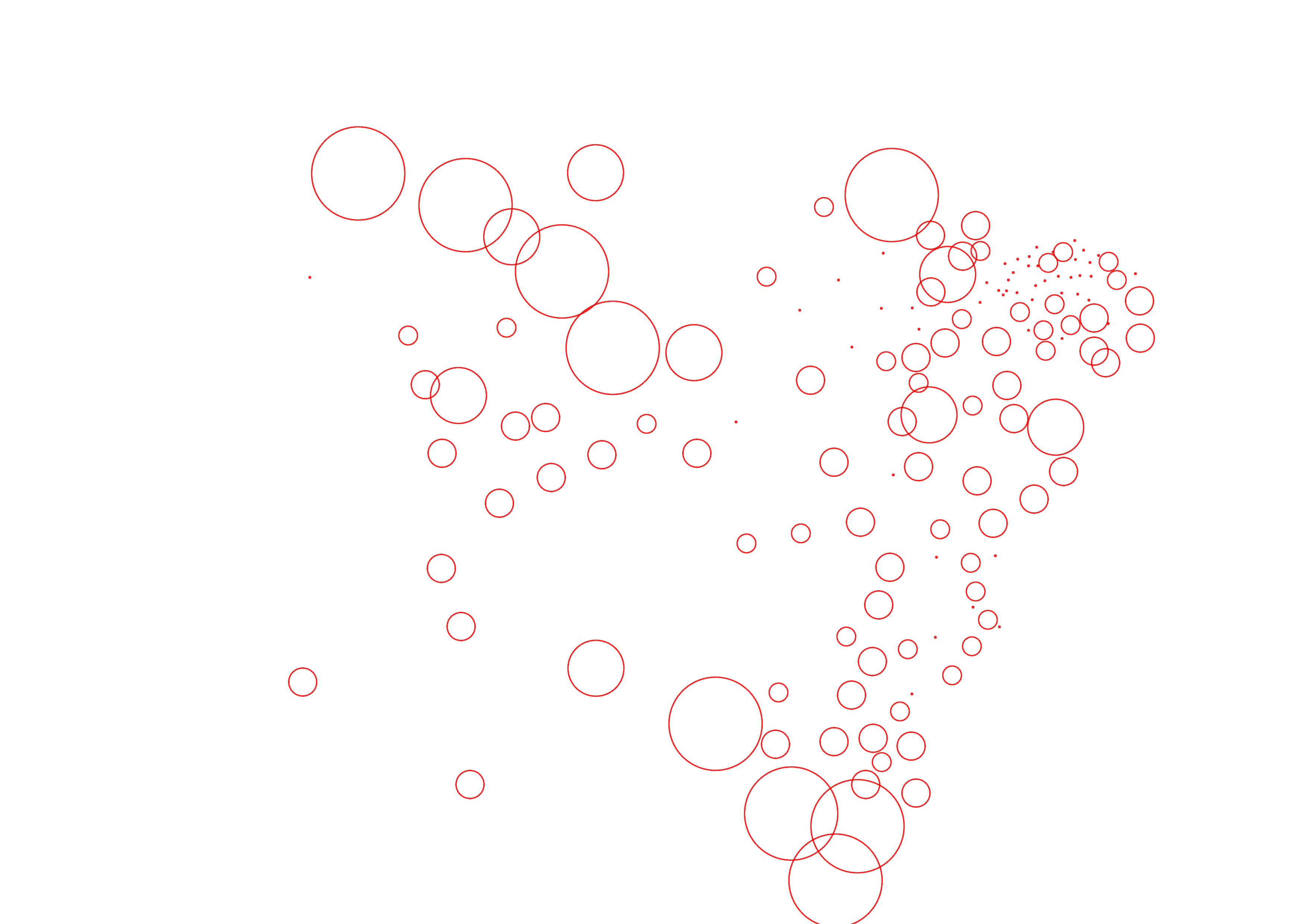
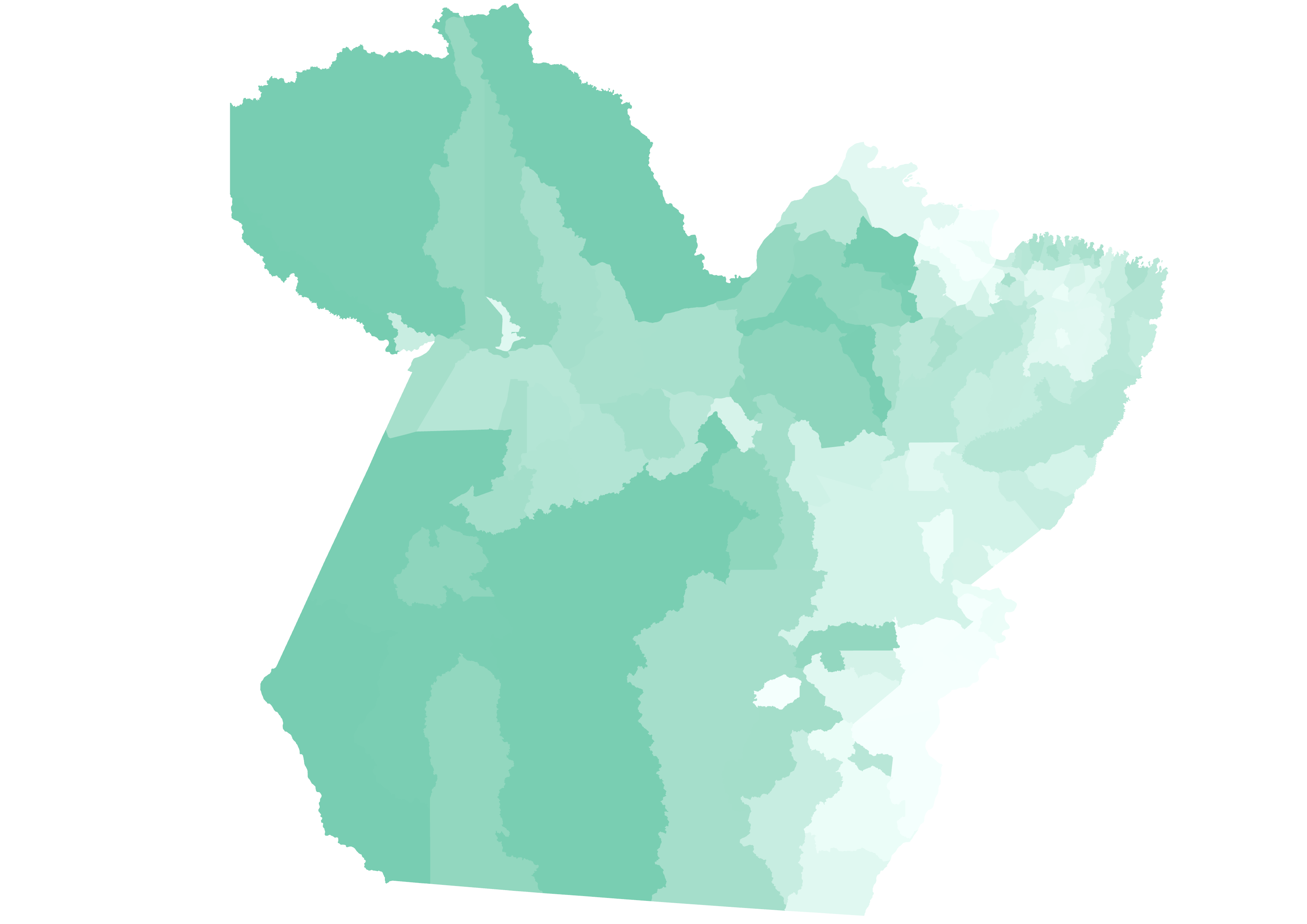
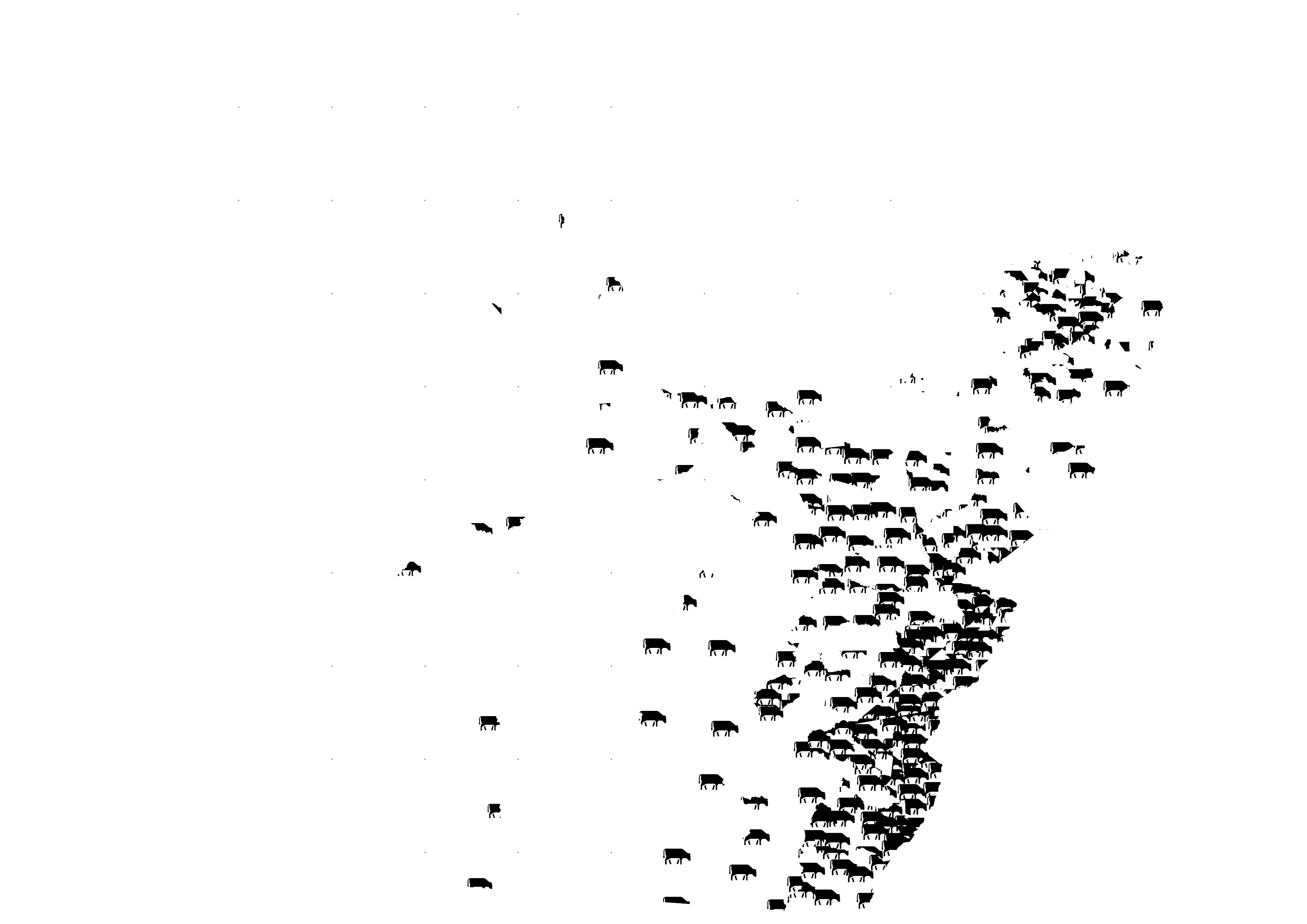
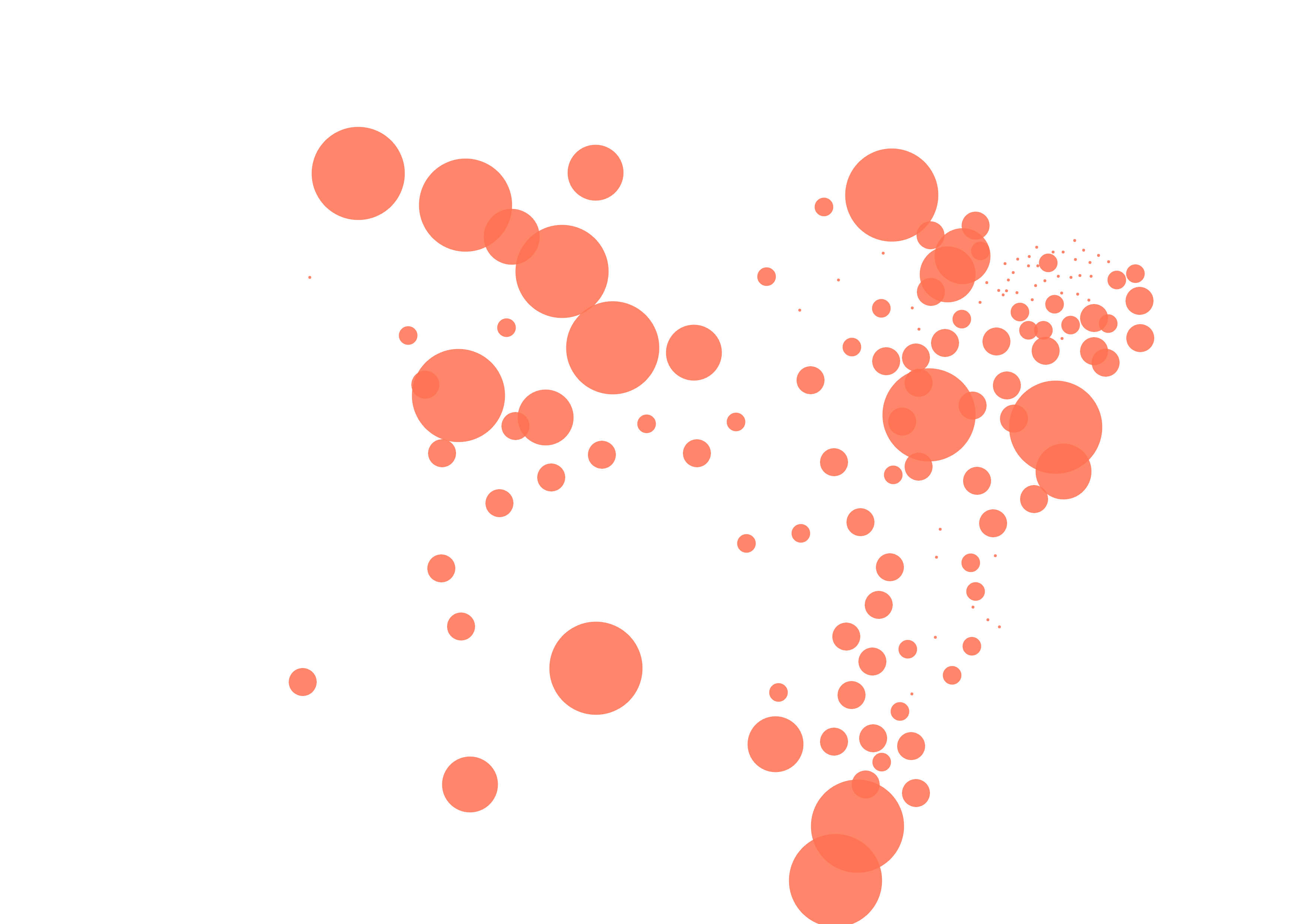
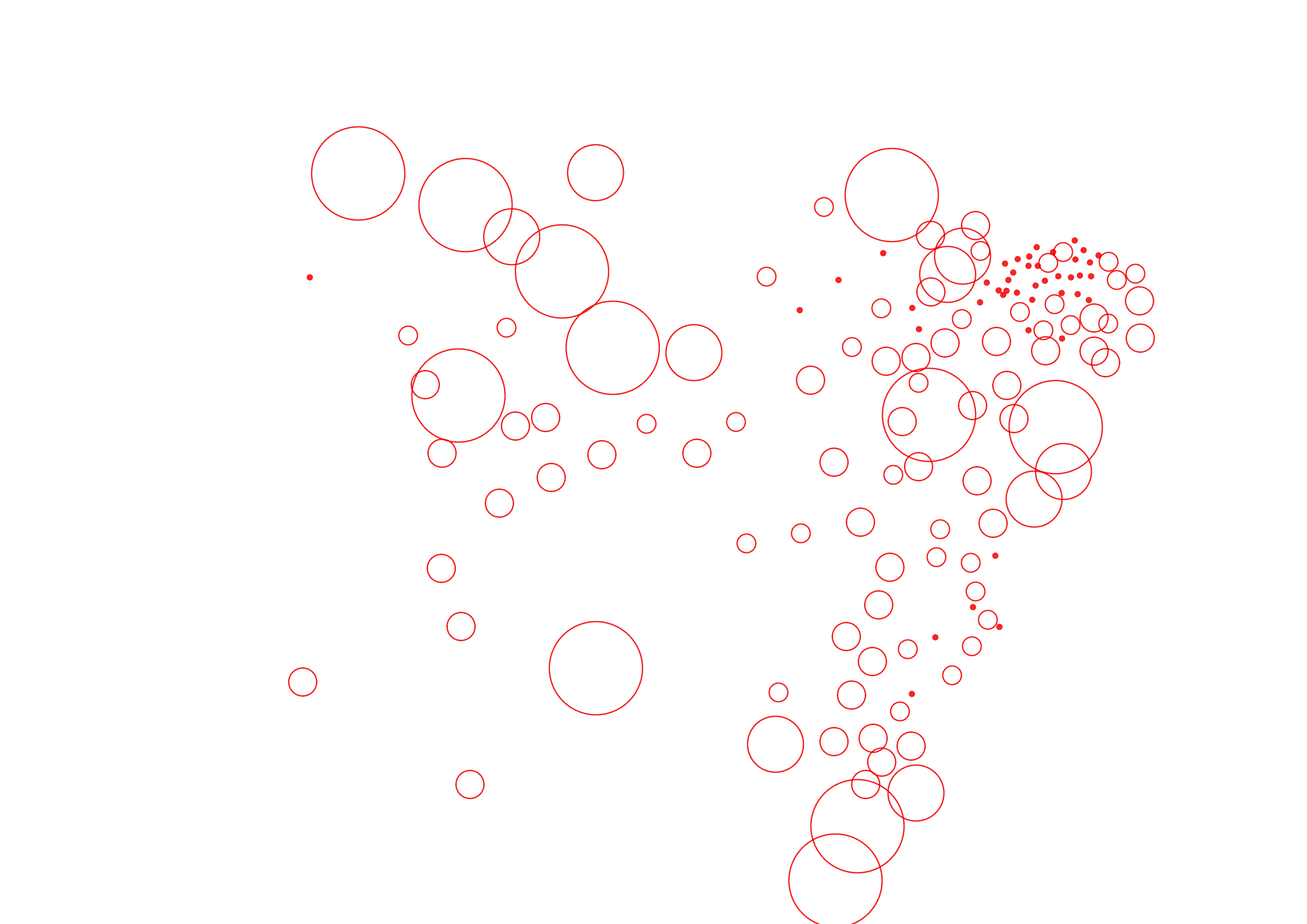
The maps focuses on the Brazilian portion of the Amazon rainforest. It aims to visually showcase the deforestation rate, the expansion of cattle ranching lands, and areas burned by wildfires over the past 40 years, documented in ten-year increments. Use the interactive dashboard to overlay the data presented in a chronological series of maps, selecting between the scale of the legal Amazon limits or the State of Pará, and turning on and off the variable's layers.
The maps focuses on the Brazilian portion of the Amazon rainforest. It aims to visually showcase the deforestation rate, the expansion of cattle ranching lands, and areas burned by wildfires over the past 40 years, documented in ten-year increments. Use the interactive dashboard to overlay the data presented in a chronological series of maps, selecting between the scale of the legal Amazon limits or the State of Pará, and turning on and off the variable's layers.